The
Weather at Tenterfield NSW
Tenterfield is the northern most
town on the Northern Tablelands on the western side of
the Great Divide.
Weather readings first commenced at the post office in 1870. After several
moves the Bureau of Meteorology weather station is currently located at the
eastern edge of
One reading daily is taken at
Tenterfield experiences a similar climate to the other nearby tablelands towns
of Glen Innes and Armidale with warm summers, cold frosty winters and the
occasional snowfall.
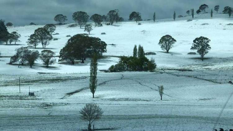
Below: Snow in the Tenterfield area in the
winter of 2012
RECENT WEATHER CONDITIONS
Last three 9am observations over the last 72 hours here.
MONTHLY DATA FILES
Daily data for this month and the previous 12 months here.
CLIMATE AVERAGES
Climate averages and extremes for Tenterfield here.